Lifestyle
Red Weather Warnings Issued for Popular European Holiday Destinations
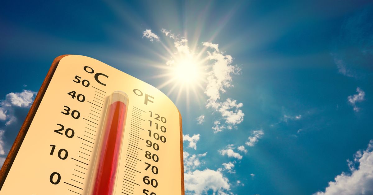
A series of red weather warnings have been issued for popular holiday destinations across Europe as soaring temperatures threaten to reach highs of 40°C this weekend. The alerts impact areas frequented by Irish tourists, particularly in regions such as Spain and Croatia, which are expected to experience extreme heat.
According to Irish weather expert Alan O’Reilly, who manages the widely followed @CarlowWeather account on X, visitors should remain vigilant regarding the weather updates. He noted, “A lot of weather warnings in Europe today and tomorrow, including red warnings for heat in parts of Spain, Germany, Croatia, Serbia, Hungary, and Poland.”
Extreme Heat Predicted Across Europe
Northern Spain is poised to experience the most intense heat over the weekend, with temperatures expected to surge significantly. Central Europe will also see a rise in temperatures, creating a potentially dangerous situation for tourists. Locations across these regions will be closely monitored as the weekend progresses.
In contrast, Ireland is set to enjoy relatively warm weather, with expected highs of up to 27°C on Saturday. The Irish Meteorological Service, Met Eireann, reported that while the weather will be mostly dry and warm, there remains a risk of showers and thunderstorms. A spokesperson stated, “Today will be largely dry and warm with good spells of sunshine,” adding that temperatures could reach between 20 and 26 degrees Celsius.
Weekend Weather Outlook for Ireland
On Friday night, the weather is predicted to remain dry with clear skies, though some mist and fog may develop overnight. Minimum temperatures will range from 10 to 14 degrees Celsius.
Saturday morning will bring further sunny spells, but the afternoon may see showers move into Munster and Connacht, some of which could be heavy or thundery. The Met Eireann forecast indicates that temperatures will peak between 21 and 27 degrees, with moderate winds from the east to southeast.
As Saturday night approaches, mild and humid conditions will persist, with early showers expected before the weather clears up. Nighttime temperatures will not drop below 14 to 17 degrees.
Sunday is anticipated to start off dry and mostly sunny, but scattered showers are likely to arrive from the southwest around noon, mainly affecting Munster and Connacht throughout the afternoon and evening. The highest temperatures will range from 19 to 25 degrees, with moderate southeast winds.
As the weekend unfolds, both travelers and locals are encouraged to stay informed about the evolving weather conditions, particularly in regions under red warning status.

H&M Unveils Urgent Autumn Home Decor Essentials for 2023

Sligo Rovers Shock Bohemians to Advance in FAI Cup, 1-0

UN Confirms 1,760 Palestinians Killed Seeking Aid in Gaza

Holidaymakers Urged to Avoid Costly Travel Mistakes

BWG Foods Reports 29% Profit Surge Driven by Record Sales

Limerick Celebrates Countdown to Rose of Tralee Festival

Parents of Deceased Boy Organize Protest for Urgent Healthcare Reform

Red Heat Alerts Issued for Popular European Holiday Destinations

Oasis Returns to Dublin: Nostalgia and Revenue Collide at Croke Park

Aimee Osbourne Joins Family for Emotional Tribute to Ozzy

Danny Healy-Rae Considers Complaint After Altercation with Garda
Hawaii Commemorates 80 Years Since Hiroshima Bombing with Ceremony

Fianna Fáil TDs Urgently Consider Maire Geoghegan-Quinn for Presidency

Gaza Aid Distribution Tragedy: 20 Killed Amid Ongoing Violence

Couple Convicted of Murdering Two-Year-Old Grandson in Wales

Aristocrat Constance Marten and Partner Convicted of Infant Murder

Clashes Erupt Between Far-Right Groups and Migrants in Spain

Historic Dalkey Pub The Queens Reopens Under New Management
-
 Entertainment2 weeks ago
Aimee Osbourne Joins Family for Emotional Tribute to Ozzy
-
 Politics3 weeks ago
Danny Healy-Rae Considers Complaint After Altercation with Garda
-

 World1 month ago
Hawaii Commemorates 80 Years Since Hiroshima Bombing with Ceremony
-
 Top Stories1 month ago
Fianna Fáil TDs Urgently Consider Maire Geoghegan-Quinn for Presidency
-
 World1 month ago
Gaza Aid Distribution Tragedy: 20 Killed Amid Ongoing Violence
-
 World1 month ago
Couple Convicted of Murdering Two-Year-Old Grandson in Wales
-
 World1 month ago
Aristocrat Constance Marten and Partner Convicted of Infant Murder
-
 Top Stories1 month ago
Clashes Erupt Between Far-Right Groups and Migrants in Spain
-
 Top Stories1 month ago
Historic Dalkey Pub The Queens Reopens Under New Management
-

 World1 month ago
Trump Defends FBI Deputy Director Amid Epstein Files Controversy
-

 Business1 month ago
Sunshine 106.8 Boosts Irish Music After Regulator’s Request
-

 Politics1 month ago
Tragic Crowd Surge at Gaza Aid Center Claims 20 Lives