Top Stories
Met Éireann Forecasts Plummeting Temperatures and Hazardous Conditions
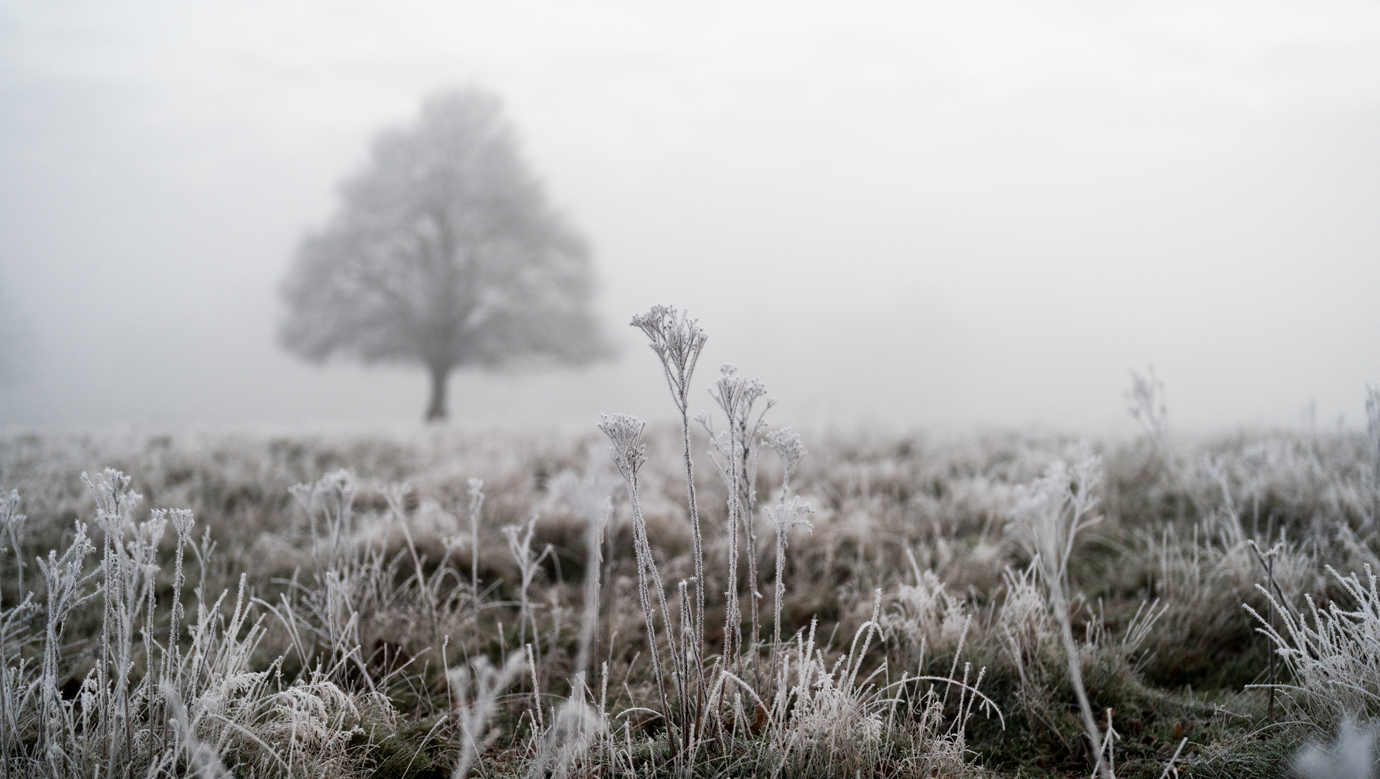
Met Éireann has issued a warning for temperatures to drop as low as -3C from Thursday night into Friday morning, continuing the recent cold snap affecting many regions. A status yellow low-temperature and ice warning will be in effect for 10 counties starting at 11 PM tonight, highlighting the potential for widespread frost, icy patches, and hazardous travel conditions. The warning is set to expire at 8 AM on Friday.
In addition, a yellow snow and ice warning remains active for counties including Antrim, Armagh, Down, Fermanagh, Tyrone, and Derry until midday today. The outlook for Thursday indicates a generally cold day with sunny spells interspersed with scattered showers, particularly in the north and west. Temperatures throughout the day will range from 3C to 7C under a light to moderate northwesterly breeze.
As night falls, conditions will turn significantly colder, with temperatures expected to dip to between 2C and 3C below freezing. This will result in frost and icy stretches across many areas. On Friday morning, conditions are predicted to start mostly dry, but cloud cover will increase, leading to outbreaks of rain along Atlantic coastal counties, driven by a freshening southwesterly breeze. Highest temperatures on Friday are expected to range from 5C to 9C.
The weekend forecast suggests a wet start on Saturday, with rain slowly clearing eastwards throughout the morning. Met Éireann anticipates a spell of dry weather developing by the afternoon, although overcast conditions will persist. Heavy showers may move into Munster and south Leinster during the late afternoon, with daytime temperatures ranging from 6C to 10C.
Saturday night promises to be another wet and overcast period, with showers affecting the eastern regions, which may be heavy at times. Minimum temperatures will range from 3C to 6C. On Sunday, rain is expected to gradually clear during the morning, but cloudy conditions will remain. Northwesterly breezes will ease, allowing for some sunny spells to develop, mainly in the south during the afternoon. Sunday’s highest temperatures will range from 7C to 10C.
As the night progresses into Sunday, conditions are forecast to remain generally dry and cloudy, though some lingering rain may occur over Connacht and Ulster. More cloud is expected to build later in the night, ahead of another band of rain moving in from the south. As temperatures fall to between 0C and 4C, further frost and icy patches are likely.
For ongoing updates and forecasts, visit the Irish Examiner’s Weather Centre.

Urgent Recall: Popular Spirit Linked to Glass Fragments

EU Council President Confirms Russian Drones Intruded During Zelenskyy Visit

Google Plans Space Data Centres by 2027 to Power AI

Askeaton Pool Reopens After €2.8 Million Renovation

Survey Reveals Half of Israelis Oppose Netanyahu’s Pardon Request

Man in His 60s Hospitalized After Serious Workplace Accident

EU Faces Challenges in Achieving Ambitious Hydrogen Goals

Cartoon Saloon Unveils Charity Christmas Card for Cois Nore

Storm Bram Knocks Out Power for 54,000; Major Travel Disruptions

Tributes Surge for 9-Year-Old Leon Briody After Cancer Battle

Aimee Osbourne Joins Family for Emotional Tribute to Ozzy

Danny Healy-Rae Considers Complaint After Altercation with Garda

Ireland Enjoys Summer Heat as Hurricane Erin Approaches Atlantic
Hawaii Commemorates 80 Years Since Hiroshima Bombing with Ceremony

Newcastle West Woman Patricia Foley Found Safe After Urgent Search

Fianna Fáil TDs Urgently Consider Maire Geoghegan-Quinn for Presidency

Couple Convicted of Murdering Two-Year-Old Grandson in Wales

Gaza Aid Distribution Tragedy: 20 Killed Amid Ongoing Violence
-
 Top Stories3 months ago
Tributes Surge for 9-Year-Old Leon Briody After Cancer Battle
-
 Entertainment4 months ago
Aimee Osbourne Joins Family for Emotional Tribute to Ozzy
-
 Politics5 months ago
Danny Healy-Rae Considers Complaint After Altercation with Garda
-
 Top Stories4 months ago
Ireland Enjoys Summer Heat as Hurricane Erin Approaches Atlantic
-

 World5 months ago
Hawaii Commemorates 80 Years Since Hiroshima Bombing with Ceremony
-
 Top Stories3 months ago
Newcastle West Woman Patricia Foley Found Safe After Urgent Search
-
 Top Stories5 months ago
Fianna Fáil TDs Urgently Consider Maire Geoghegan-Quinn for Presidency
-
 World5 months ago
Couple Convicted of Murdering Two-Year-Old Grandson in Wales
-
 World5 months ago
Gaza Aid Distribution Tragedy: 20 Killed Amid Ongoing Violence
-

 World5 months ago
Aristocrat Constance Marten and Partner Convicted of Infant Murder
-

 Top Stories4 months ago
Climbing Errigal: A Must-Do Summer Adventure in Donegal
-

 Top Stories4 months ago
Hike Donegal’s Errigal Mountain NOW for Unforgettable Summer Views